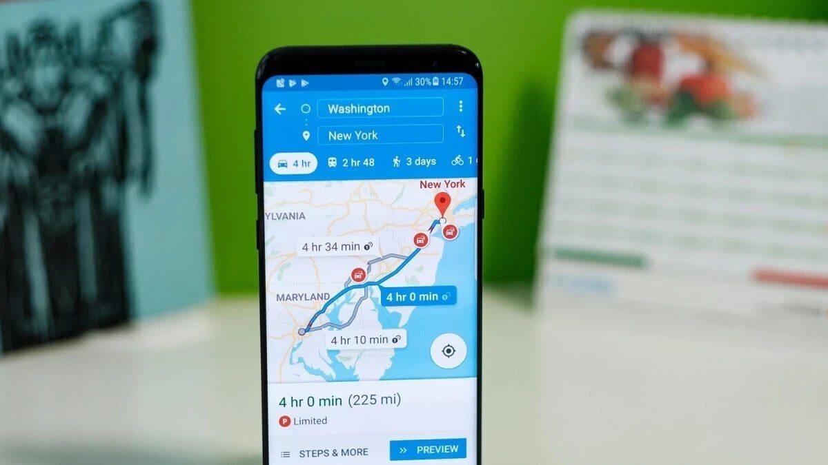
Everyone takes it for granted that Google Maps can be trusted to get you from point “A” to point “B” quickly and safely. Sometimes this is not the case. This past Saturday, a hiker attempting to climb Mount Fromme in Canada had to be rescued from a cliff where he was stranded after he followed directions on Google Maps. These directions took him through a trail that didn’t exist. Per media reports, a helicopter rescue crew along with a rope team had to be deployed to save the hiker.
The chopper and the rescue team were sent to the rear of Mount Fromme, located near Vancouver, British Columbia. Officials said that the Kennedy Falls area that the man was attempting to climb Mount Fromme from does not have any trails, is very steep, and was the location of a previous fatality. In addition to following Google Map directions to hike a trail that didn’t exist, officials said that the man was not equipped to carry out his goal as he did not carry a flashlight and had very little hiking gear with him.
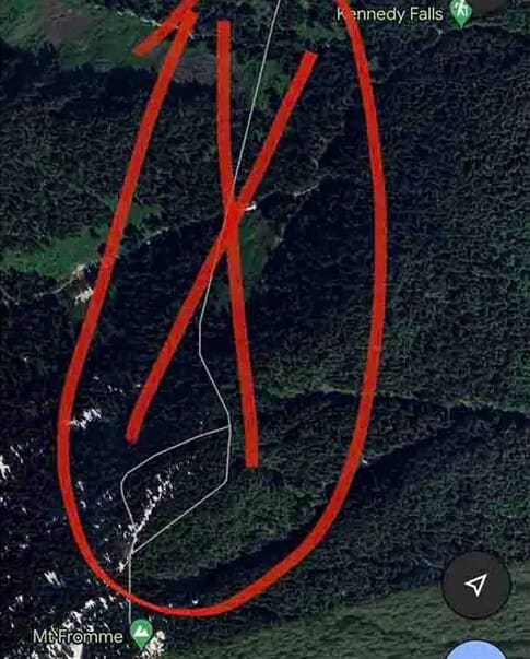
The walking trail seen on Google Maps by the hiker did not exist
The rescue team was at first unable to spot the hiker due to the trees that blocked their view. Two of the technicians flying in the helicopter were lowered onto the mountain and had to hike their way up. After finding the stranded hiker, they placed him in a harness and took him down to an area where all three of them could be safely picked up by the helicopter.
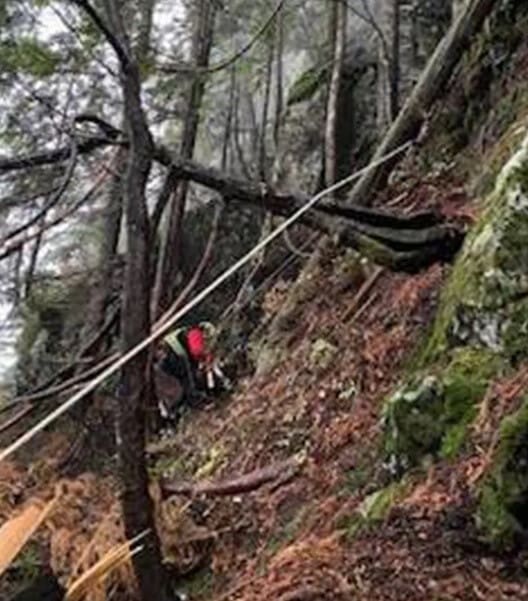
Rescuers were lowered to the side of the mountain from the helicopter
Seeking to prevent a similar situation from happening again, the rescue group issued some warnings to hikers. “First, it is simply not appropriate to navigate in the wilderness using ‘urban street map’ programs like Google Maps,” the team said. They recommended that hikers go ‘old school’ and use a compass with a paper map and follow posted signs in the area that warn of approaching dangers.
If you need to use a phone-based navigation app, the rescue group suggests using one designed for the outdoors that is preloaded with a wilderness topographical map.